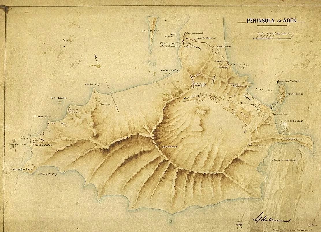
A day-long conference exploring the history, preservation, interpretation and regional significance of historic maps, plans and charts held within archival collections. Speakers from major institutions including the British Library, Royal Museums Greenwich, National Library of Wales and the Bodleian Library examine how maps document places and people, the challenges of conserving large-format documents, and innovative approaches to digitisation and engagement with cartographic heritage.
The programme covers four main themes: maps and their documentary value; creative and interpretive responses to historic cartography; conservation challenges and best practice; and case studies from regional collections across the UK. Topics range from Sino-European knowledge exchange through early maps to the industrial history of Manchester revealed in tithe maps, and digital preservation of archaeological site plans.
Full catering provided throughout the day. Lift access available.